ExplainedA solid ordinary explanation fits the evidence.
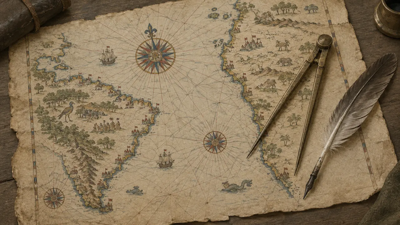
The claim
"The map shows Antarctica without ice, so its maker had aerial maps from aliens."
Where the idea comes from
Charles Hapgood's 1966 book "Maps of the Ancient Sea Kings" argued for ancient ice-free mapping; ancient-alien authors took it further.
What the evidence shows
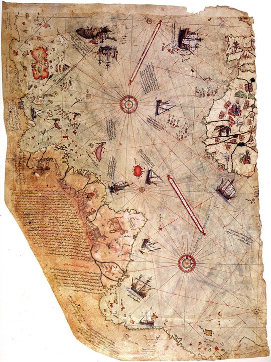
- Admiral Piri Reis wrote on the map itself that he compiled it from about 20 sources, including a map by Columbus.
- The southern "Antarctic" coast is a well-known distortion: South America's coast bent east to fit the edge of the gazelle-skin parchment.
- Antarctica has been under ice for millions of years, long before any human could map it.
What is still open
Historians still debate which lost Columbus chart he copied, which makes the map valuable to historians.
Our verdict
Explained A patchwork of older charts, honestly labelled by its author.
Sources
Checked 31 October 2026. Spotted a newer source? Tell us.
Advertisement
More from Ancient aliens
See all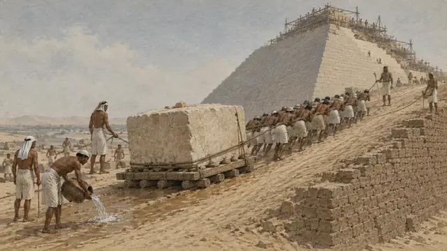 ExplainedThe Great Pyramid of Gizac. 2560 BC · EgyptHumans couldn't have cut, moved and stacked 2.3 million blocks with Bronze Age tools.
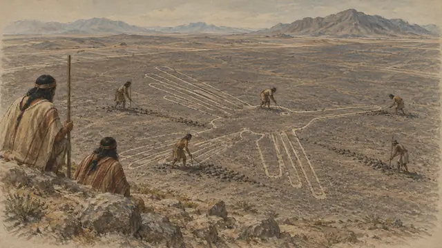 ExplainedThe Nazca Lines500 BC to AD 500 · PeruGiant drawings only visible from the air must have been runways or signals for ancient astronauts.
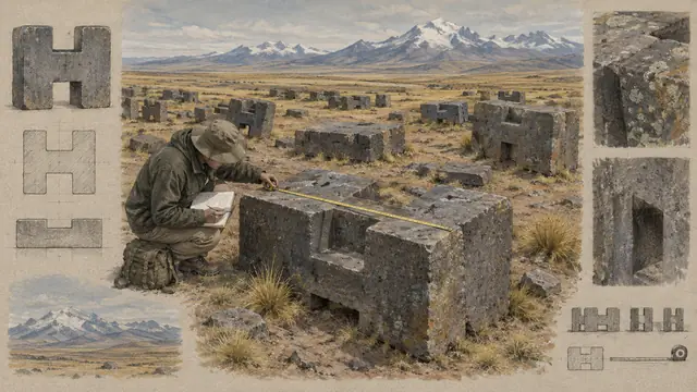 ExplainedPuma Punku's precise stonesc. AD 500 to 600 · Tiwanaku, BoliviaThe H-shaped blocks are cut so precisely they must have been machined.
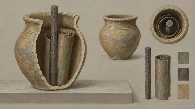 ExplainedThe "Baghdad Battery"c. 2,000 years old · IraqA clay jar with a copper tube and iron rod was an ancient battery, maybe from visitors.
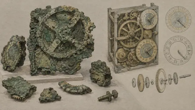 ExplainedThe Antikythera mechanismc. 150 to 60 BC · GreeceA bronze gear computer from ancient Greece is too advanced to be human.
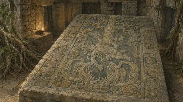 DebunkedThe Palenque "astronaut"AD 683 · MexicoKing Pakal's tomb lid shows an astronaut at the controls of a rocket.